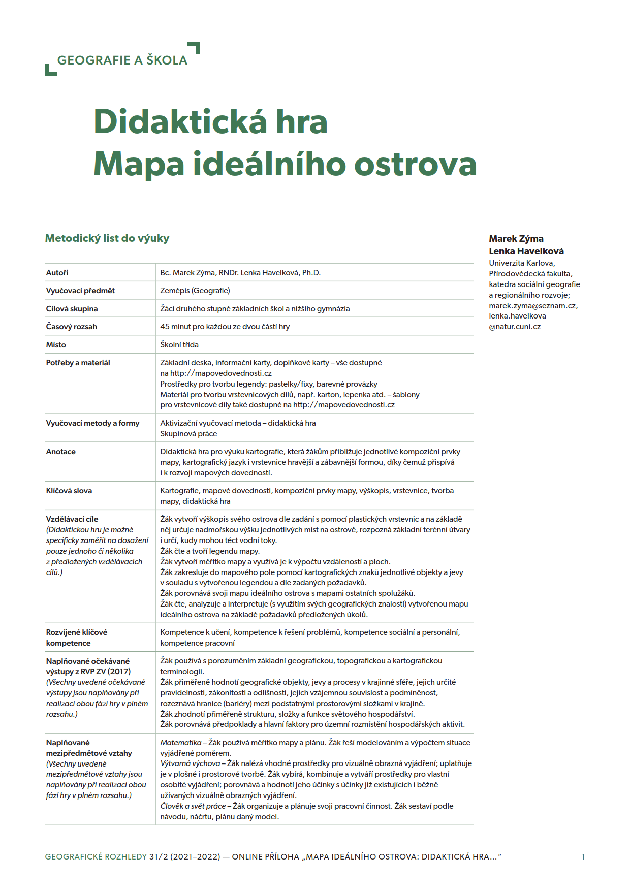
Methodology of working with a map
We live in a society that is changing very dynamically. The changes and development of the society are reflected in the changes of its priorities in education. The expected outcomes change not only for primary schools, but also for secondary schools and universities. For all the people involved, it is very difficult, sometimes even impossible, to react to such changes in a flexible way. As a result, the education system is characterized by certain inertia and the traditional approaches are only slowly replaced by innovative ones. .
Geographical education is no exception in this process and we can observe switch from encyclopaedic knowledge to a traveller’s point of view and to a modern approach to geography as a subject that develops students’cognitive abilities. All the phases of geographical education have one thing in common: the use of maps as a crucial focus. The maps have been changing as well. Quickly developing methods of thematic cartography have started to enter the cartographic production for schools, increasing the educational potential of atlases. Maps are no longer illustrations that solely repeat the information in the text, sketches of location of different objects, processes, and tools to get from one location to another. Today, maps are perceived as a complex tool that helps (or even enables) the teacher to develop students’ geographical thinking, i.e. to achieve the main goal of geographical education. The goal whose achievement helps to create an individual who is able to act rationally and responsibly in our environment. Due to the inertia mentioned, it is clear that in current teaching (in the widest sense of the word, including not also direct classes, but also didactic materials, books, workbooks, etc., curricular documents at both school and state level), we can still find all the uses of maps mentioned. Unfortunately, the use of map as a tool of development of cognitive skills is still rather limited. This may a result of lack of methodical guidelines that would help teachers to implement such approach in their classes.
Being aware of this situation, the authors have decided to prepare this methodical document whose main goal is to use the findings from our research (that contributed greatly to the knowledge in the field of map use, both in Czechia and abroad), inform about the findings the school-related public and to develop their implementation in classes. Indirectly, the authors also have an ambitious goal to contribute to the qualitative change of the process of development of map skills. Such change should materialize in an improvement of overall map skills among the general public, but also in the structure of map skills – with less focus on simple reading of information and more focus on the development of cognitively more complex operations with maps, such is analysis and interpretation, i.e. development of thinking with a map.
This certified document was created in a wider project (Adaptivní aplikacerozvoje mapových dovedností, TAČR, no. TL02000302) and the implementation of the approaches mentioned here is supported by further outcomes, especially the online application aimed at developing map skills. The application is based on the principle of adaptable testing and learning as the students solve tasks that are at their respective level of skills. Therefore, the students do not waste time by solving tasks that are too easy. At the same time, they are not discouraged by tasks that would be too difficult. The application, as well as other outcomes, is available on this website.
The goal of the authors was to offer a comprehensive material with all the information that the teachers may need when developing students’ map skills. All the information is targeted at primary and secondary schools, distinguishing it from many university materials. In the first chapter, maps and their most frequent types are described. There are all the components that a map should contain to help us with a correct interpretation. Very useful is then the description of common mistakes, misinterpretations and misconceptions related to the given types of maps. The next chapters focus on the work with a map, on the levels of
- the planned curriculum (curricula documents and their requirements, but also suggestions for own approaches to teaching, the impact of teacher’s personal approach and other factors);
- the realized curriculum (evaluation of current methods and forms of development of map skills at Czech schools);
- the achieved curriculum (level of map skills, i.e. identification of map skills that are students good/bad at).
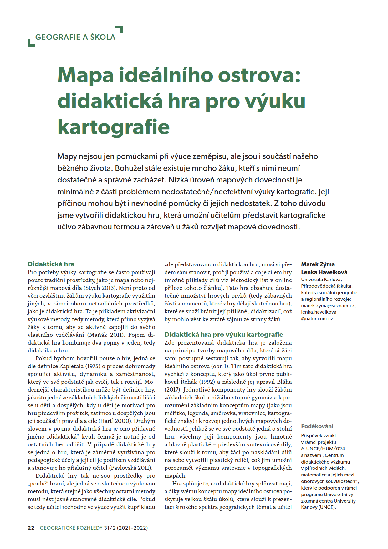
A big contribution for school education are examples and tasks on development of map skills as well as a description of ways to create systematically tasks in line with the approach of the pedagogical scaffolding (where a scaffolding is built around students’ knowledge). In the seventh chapter, a board game is presented. The game develops most of the aspects of work with a map (creation, reading, analysis, interpretation), using an example of an island. The final chapter describes the online application itself. Its basic principles are presented and the user manual is described. The chapter also contains suggestions on how to use the map in classes.
We believe that this publication will find its way especially to teachers and that it will bring them inspiration and information for their own classes. We do not reckon necessary that you read the whole document, we would rather prefer that you use it in practise, reading always the part you need. It is not easy to change own approach to teaching, the process is long, but it makes sense. We wish success and endurance to all those who embark on such a journey.
Martin Hanus, Lenka Havelková, Tereza Kocová, Veronika Bernhäuserová, Kristýna Štolcová, Karolína Fenclová, Marek Zýma
Papers
Webinars
Developing pupils' thinking through maps - M. Hanus (in Czech)
Maps as tools for the development of geographical thinking (M. Hanus)
This special session was organized and sponsored by the CRITICAL project, which is funded by the Strategic Research Council (SRC), Finland.